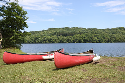
Kuttara Lake
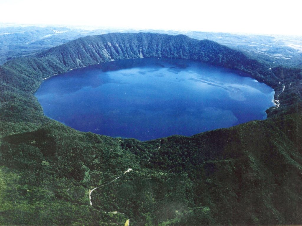
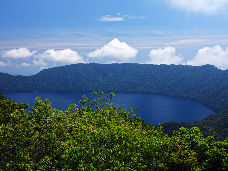
Lake Kuttara, placed first in the lakes and marshes division of the nationwide measurement of water quality in public areas, commissioned by the Ministry of Environment in 2001. Lake Kuttara is an 8-kilometer (circumference) lake situated inside the Shikotsu-Toya National Park reserve. It is the second most transparent and beautiful lake after Lake Mashu.
- Addition
- [Origin of the Name] Derived from the lake "Kuttara Shi To" in Kojohama
[Birth] The caldera lake was presumed to have been the result of the eruption of Kuttara Volcano over 40,000 years ago.
[Total surface area] 4.7 square kilometers, 19th largest in the nation
[Total lake volume] 0.491 cubic kilometers, 7th in the nation
[Elevation of the lake] 257 meters, 8th in the nation
[Depth] 147 meters at the deepest point, and average of 104.5 meters, the 4th deepest in the nation
[Water quality] COD = 0.7mg Number one in the nation
[Transparency] 28.3 meters, 2nd in the nation
[Curvature of the lake] 1.05 the first in the nation (refers to how close to being a complete circle the lake is) - Address
- Kojohama, Shiraoi